Property history for U 1/84 Spitfire Drive, Raby NSW 2566
All Sold Rent
This property has no listed sales or rental history.
This property has no listed sales history.
This property has no listed rental history.
About this property
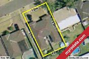
U 1/84 Spitfire Drive, Raby NSW 2566
| Bedrooms | 3 |
| Bathrooms | 1 |
| Car Spaces | 0 |
| Land Size | 353 m2 |
| Building Area | n/a |
| Property Type | unit |
| Council Area | n/a |
| Year Built | 2008 |
| Lot/Plan | n/a |
| Suburb Name | Raby |
| Postcode | 2566 |
| State | NSW |
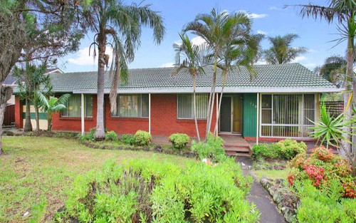
Comparable Sold properties in Raby
Looking at similar homes in Raby, NSW 2566 can help you better understand this unit's potential value.


Comparable Rent properties in Raby
Looking at similar homes in Raby, NSW 2566 can help you better understand this unit's potential value.

Schools closest to U 1/84 Spitfire Drive, Raby NSW 2566
| School name | Address | Type | Sector | Distance |
|---|---|---|---|---|
| Robert Townson Public School | SHUTTLEWORTH AVERaby 2566 | Primary | Government | 0.62 km |
| Robert Townson High School | THUNDERBOLT DRIVERaby 2566 | Secondary | Government | 0.68 km |
| St Andrews Public School | BALLANTRAE DRIVESt Andrews 2566 | Primary | Government | 0.93 km |
| Eschol Park Public School | ESCHOL PARK DRIVEEschol Park 2558 | Primary | Government | 1.13 km |
| Mount Carmel Catholic College | Varroville 2566 | Secondary | Catholic | 1.61 km |
| Kearns Public School | ST LAWRENCE AVEKearns 2558 | Primary | Government | 1.71 km |
| Mary Immaculate Catholic Primary School | CNR EMERALD AND AQUAMARINE DRIVEEagle Vale 2558 | Primary | Catholic | 2.02 km |
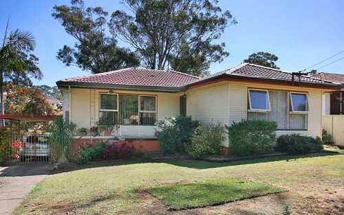
Neighbouring properties to U 1/84 Spitfire Drive, Raby NSW 2566
Explore other properties on Raby, NSW 2566.
Suburb Information
Raby, NSW 2566
Part of Campbelltown
40.00 km
Distance from Sydney CBD
27 k
Population
$855K
Median House Price
$581K
Median Unit Price