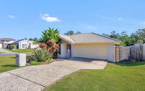
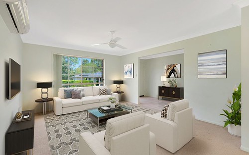
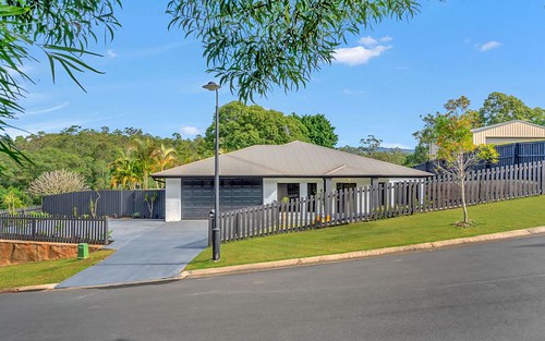
Property history for 1 Koel Drive, Gilston QLD 4211
All Sold Rent
Oct 2014
$505 per week- Rent
- Harcourts Coastal - Broadbeach
Dec 2012
$495 per week- Rent
- Harcourts - Coastal
Dec 2005
$168,000- Sold
About this property
1 Koel Drive, Gilston QLD 4211
| Bedrooms | 4 |
| Bathrooms | 2 |
| Car Spaces | 2 |
| Land Size | 660 m2 |
| Building Area | 190 m2 |
| Property Type | house |
| Council Area | n/a |
| Year Built | 2007 |
| Lot/Plan | 30/SP177507 |
| Suburb Name | Gilston |
| Postcode | 4211 |
| State | QLD |
Comparable Sold properties in Gilston
Looking at similar homes in Gilston, QLD 4211 can help you better understand this unit's potential value.
Comparable Rent properties in Gilston
Looking at similar homes in Gilston, QLD 4211 can help you better understand this unit's potential value.
Schools closest to 1 Koel Drive, Gilston QLD 4211
| School name | Address | Type | Sector | Distance |
|---|---|---|---|---|
| St Brigid's Catholic Primary School | 39-49 MCLAREN ROADNerang 4211 | Primary | Catholic | 1.91 km |
| Nerang State High School | WEEDONS ROADNerang 4211 | Secondary | Government | 2.3 km |
Neighbouring properties to 1 Koel Drive, Gilston QLD 4211
Explore other properties on Gilston, QLD 4211.
Suburb Information
Gilston, QLD 4211
Part of Gold Coast
69.38 km
Distance from Brisbane CBD
40 k
Population
$965K
Median House Price
$589K
Median Unit Price


