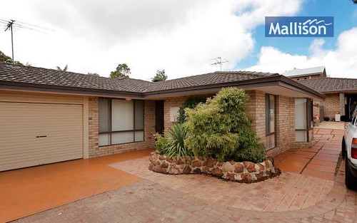
Property history for 11/469-471 Canning Highway, melville WA 6156
All Sold Rent
Jul 2015
$435 per week- Rent
- Rentwest Solutions - Applecross
May 2014
$480 per week- Rent
- Rentwest Solutions - Applecross
Nov 2011
$485,000- Sold
- Ross & Galloway Property
Dec 2000
$205,000- Sold
Mar 1997
$162,500- Sold
Aug 1988
$124,500- Sold
About this property
11/469-471 Canning Highway, melville WA 6156
| Bedrooms | 3 |
| Bathrooms | 2 |
| Car Spaces | 2 |
| Land Size | 105 m2 |
| Building Area | n/a |
| Property Type | unit |
| Council Area | n/a |
| Year Built | 2004 |
| Lot/Plan | n/a |
| Suburb Name | melville |
| Postcode | 6156 |
| State | WA |
Comparable Sold properties in melville
Looking at similar homes in melville, WA 6156 can help you better understand this unit's potential value.


Comparable Rent properties in melville
Looking at similar homes in melville, WA 6156 can help you better understand this unit's potential value.


Schools closest to 11/469-471 Canning Highway, melville WA 6156
| School name | Address | Type | Sector | Distance |
|---|---|---|---|---|
| Attadale Primary School | WICHMANN ROADAttadale 6156 | Primary | Government | 0.61 km |
| Melville Primary School | CURTIS ROADMelville 6156 | Primary | Government | 0.89 km |
| Melville Senior High SchoolTop 100 | POTTS STREETMelville 6156 | Secondary | Government | 1.54 km |
| Santa Maria CollegeTop 20 | MOREING ROADAttadale 6156 | Combined | Catholic | 1.6 km |
| Bicton Primary SchoolTop 100 | VIEW TERRACEBicton 6157 | Primary | Government | 1.41 km |
| Our Lady of Fatima School | 3 HARRIS ROADPalmyra 6157 | Primary | Catholic | 1.54 km |
| Caralee Community School | WINNACOTT STREETWillagee 6156 | Primary | Government | 2.07 km |
| Fremantle Language Development Centre | WINNACOTT STREETWillagee 6156 | Primary | Government | 2.08 km |
| Palmyra Primary School | MCKIMMIE ROADPalmyra 6157 | Primary | Government | 2.03 km |
Neighbouring properties to 11/469-471 Canning Highway, melville WA 6156
Explore other properties on melville, WA 6156.
Suburb Information
Melville, WA 6156
Part of Melville
2751.68 km
Distance from Perth CBD
14 k
Population
$991K
Median House Price
$500K
Median Unit Price