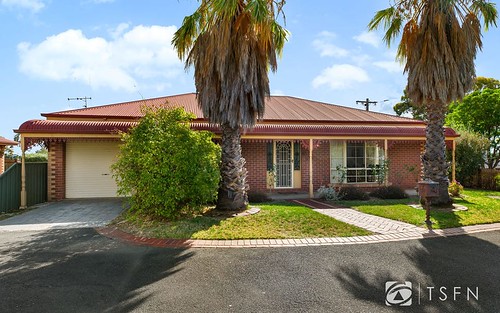
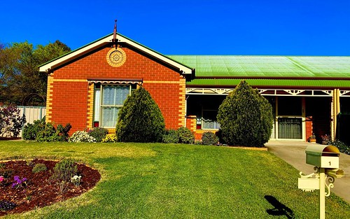
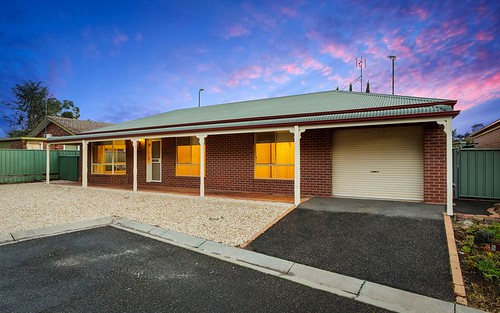
Property history for 11 Lowndes Street, Kennington VIC 3550
All Sold Rent
Jun 2007
$510,000- Sold
Jul 2004
$400,000- Sold
Jan 2002
$235,000- Sold
This property has no listed rental history.
About this property
11 Lowndes Street, Kennington VIC 3550
| Bedrooms | 0 |
| Bathrooms | 0 |
| Car Spaces | 0 |
| Land Size | 673 m2 |
| Building Area | n/a |
| Property Type | unit |
| Council Area | Greater Bendigo |
| Year Built | 2007 |
| Lot/Plan | 1/LP25079 |
| Suburb Name | Kennington |
| Postcode | 3550 |
| State | VIC |
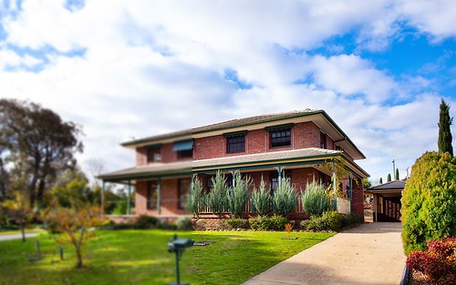
Comparable Sold properties in Kennington
Looking at similar homes in Kennington, VIC 3550 can help you better understand this unit's potential value.

Comparable Rent properties in Kennington
Looking at similar homes in Kennington, VIC 3550 can help you better understand this unit's potential value.


Schools closest to 11 Lowndes Street, Kennington VIC 3550
| School name | Address | Type | Sector | Distance |
|---|---|---|---|---|
| St Therese's Primary School | ALBION STKennington 3550 | Primary | Catholic | 0.37 km |
| Kennington Primary School | 60 CROOK STREETKennington 3550 | Primary | Government | 1.18 km |
| Doxa School Bendigo | 118 HARGREAVES STREETBendigo 3550 | Combined | Catholic | 1.54 km |
| St Kilian's Primary School | 2 HAVELOCK STBendigo 3550 | Primary | Catholic | 1.74 km |
| Quarry Hill Primary School | 25 PEEL STREETQuarry Hill 3550 | Primary | Government | 1.92 km |
| Bendigo Senior Secondary College | 40 GAOL ROADBendigo 3550 | Secondary | Government | 1.97 km |
| Bendigo South East 7-10 Secondary College | ELLIS STREETBendigo 3550 | Secondary | Government | 2.03 km |
| Camp Hill Primary School | 50 GAOL RDBendigo 3550 | Primary | Government | 2.01 km |
| Victory Christian College | 6 KAIRN ROADSTRATHDALE 3550 | Combined | Independent | 2.4 km |
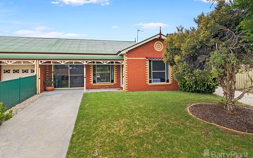
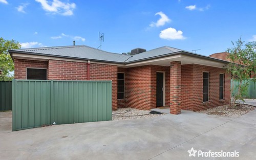
Neighbouring properties to 11 Lowndes Street, Kennington VIC 3550
Explore other properties on Kennington, VIC 3550.
Suburb Information
Kennington, VIC 3550
Part of Greater Bendigo
130.80 km
Distance from Melbourne CBD
38 k
Population
$595K
Median House Price
$450K
Median Unit Price