


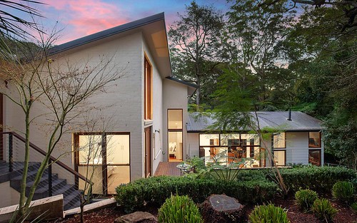
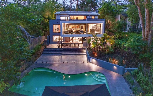
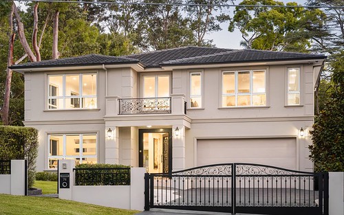
Property history for 11 Strickland Avenue, Lindfield NSW 2070
All Sold Rent
Aug 2022
N/A- Sold
- CENTURY 21 VICTORIA ROSE - Northbridge
Apr 2013
$2,270,000- Sold
- McGrath - Lindfield
May 2011
$2,200 per week- Rent
- LJ Hooker - Roseville
Oct 2003
$4,820,000- Sold
- McGrath - Lindfield
Oct 2003
$2,000,000- Sold
- Show Piece
Aug 2001
$825,000- Sold
- Richardson And Wrench Lindfield
About this property
11 Strickland Avenue, Lindfield NSW 2070
| Bedrooms | 5 |
| Bathrooms | 2 |
| Car Spaces | 2 |
| Land Size | 1271 m2 |
| Building Area | 1271 m2 |
| Property Type | house |
| Council Area | Ku-Ring-Gai |
| Year Built | 2007 |
| Lot/Plan | 17/DP6858 |
| Suburb Name | Lindfield |
| Postcode | 2070 |
| State | NSW |
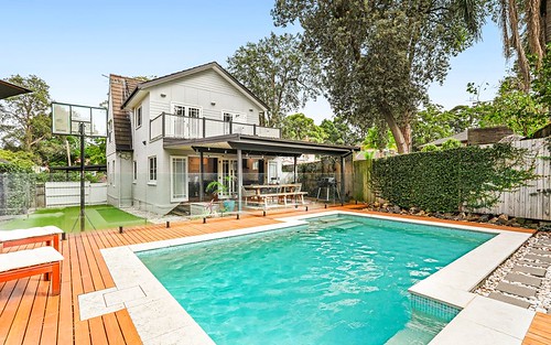
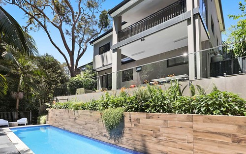
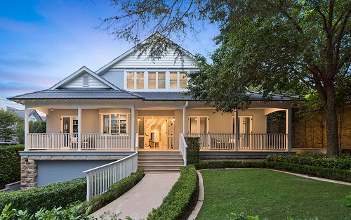
Comparable Sold properties in Lindfield
Looking at similar homes in Lindfield, NSW 2070 can help you better understand this unit's potential value.

Comparable Rent properties in Lindfield
Looking at similar homes in Lindfield, NSW 2070 can help you better understand this unit's potential value.


Schools closest to 11 Strickland Avenue, Lindfield NSW 2070
| School name | Address | Type | Sector | Distance |
|---|---|---|---|---|
| Lindfield Public SchoolTop 100 | PACIFIC HWYLindfield 2070 | Primary | Government | 0.31 km |
| Holy Family Catholic Primary SchoolTop 100 | 2-4 HIGHFIELD ROADLindfield 2070 | Primary | Catholic | 0.83 km |
| Masada CollegeTop 50 | 15 TREATTS ROADLINDFIELD 2070 | Primary | Independent | 1.14 km |
| Roseville CollegeTop 50 | 27-29 BANCROFT AVENUERoseville 2069 | Combined | Independent | 1.12 km |
| Roseville Public SchoolTop 50 | ARCHBOLD RDRoseville 2069 | Primary | Government | 1.55 km |
| Lindfield East Public SchoolTop 50 | TRYON RDEast Lindfield 2070 | Primary | Government | 1.76 km |
| St Pius X CollegeTop 100 | 35 ANDERSON STREETChatswood 2067 | Combined | Independent | 1.93 km |
| Mercy Catholic CollegeTop 100 | 101 ARCHER STChatswood 2067 | Secondary | Catholic | 1.96 km |
| Our Lady of Dolours Catholic Primary School | 94A ARCHER STREETChatswood 2067 | Primary | Catholic | 2 km |
| Chatswood High SchoolTop 100 | CENTENNIAL AVEChatswood 2067 | Secondary | Government | 2.18 km |
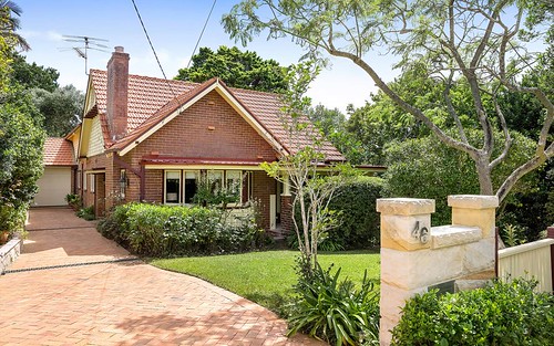
Neighbouring properties to 11 Strickland Avenue, Lindfield NSW 2070
Explore other properties on Lindfield, NSW 2070.
Suburb Information
Lindfield, NSW 2070
Part of Ku-ring-gai
11.37 km
Distance from Sydney CBD
12 k
Population
$3.88M
Median House Price
$1.22M
Median Unit Price
Auction Results For Lindfield
Houses sold in Last 12 months ends 29 Jun 2024
$4.85M
Median Sale Price
58%
Clearance Rate
30/52
Sold/Reported
$6.1M
Highest Sale Price
| Sold Price Range | No. of Sold Properties | |
|---|---|---|
| $3 M and more (Median Price Range) | 8 | |