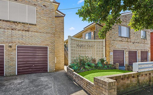
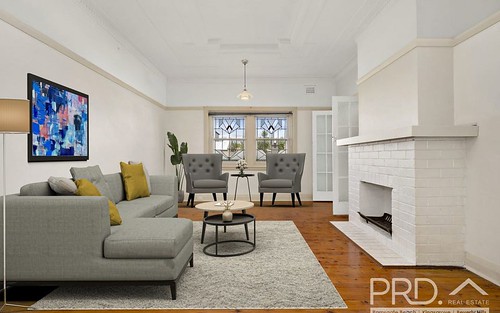
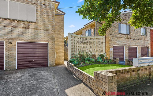
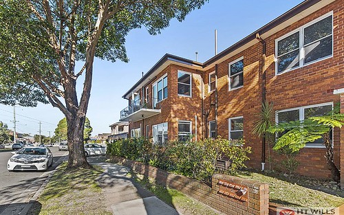
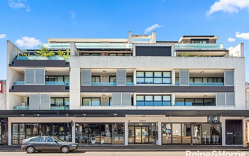
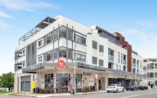
Property history for 116-120 Ramsgate Road, Ramsgate NSW 2217
All Sold Rent
This property has no listed sales or rental history.
This property has no listed sales history.
This property has no listed rental history.
About this property
116-120 Ramsgate Road, Ramsgate NSW 2217
| Bedrooms | 2 |
| Bathrooms | 1 |
| Car Spaces | 1 |
| Land Size | 1448 m2 |
| Building Area | n/a |
| Property Type | unit |
| Council Area | Rockdale |
| Year Built | 1964 |
| Lot/Plan | SP660 |
| Suburb Name | Ramsgate |
| Postcode | 2217 |
| State | NSW |
Comparable Sold properties in Ramsgate
Looking at similar homes in Ramsgate, NSW 2217 can help you better understand this unit's potential value.
Comparable Rent properties in Ramsgate
Looking at similar homes in Ramsgate, NSW 2217 can help you better understand this unit's potential value.
Schools closest to 116-120 Ramsgate Road, Ramsgate NSW 2217
| School name | Address | Type | Sector | Distance |
|---|---|---|---|---|
| Ramsgate Public School | CHUTER AVERamsgate 2217 | Primary | Government | 0.49 km |
| St Finbar's Primary School | Sans Souci 2219 | Primary | Catholic | 1.37 km |
| Sans Souci Public School | ROCKY POINT RDSans Souci 2219 | Primary | Government | 1.54 km |
| Moorefield Girls High School | PRINCES HWYKogarah 2217 | Secondary | Government | 1.77 km |
| Carlton South Public School | JUBILEE AVECarlton 2218 | Primary | Government | 1.69 km |
| St Patrick's Catholic Primary School | 36 CHAPEL STREETKogarah 2217 | Primary | Catholic | 1.89 km |
| James Cook Boys High School | PRINCES HWYKogarah 2217 | Secondary | Government | 2.06 km |
Neighbouring properties to 116-120 Ramsgate Road, Ramsgate NSW 2217
Explore other properties on Ramsgate, NSW 2217.
Suburb Information
Ramsgate, NSW 2217
Part of Rockdale
13.81 km
Distance from Sydney CBD
21 k
Population
$1.98M
Median House Price
$710K
Median Unit Price
Auction Results For Ramsgate
Units sold in Last 12 months ends 11 Jan 2025
$940K
Median Sale Price
100%
Clearance Rate
1/1
Sold/Reported
$940K
Highest Sale Price
| Sold Price Range | No. of Sold Properties | |
|---|---|---|
| $800 K - $1 M (Median Price Range) | 1 | |

