


Property history for 17 Sherwood Road, Australind WA 6233
All Sold Rent
Sep 2009
$338,000- Sold
Apr 2005
$74,800- Sold
This property has no listed rental history.
About this property
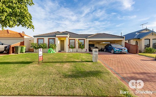
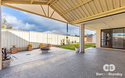
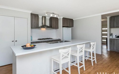
17 Sherwood Road, Australind WA 6233
| Bedrooms | 4 |
| Bathrooms | 2 |
| Car Spaces | 2 |
| Land Size | 763 m2 |
| Building Area | 144 m2 |
| Property Type | house |
| Council Area | Harvey |
| Year Built | 2006 |
| Lot/Plan | 292/P041833 |
| Suburb Name | Australind |
| Postcode | 6233 |
| State | WA |
Comparable Sold properties in Australind
Looking at similar homes in Australind, WA 6233 can help you better understand this unit's potential value.


Comparable Rent properties in Australind
Looking at similar homes in Australind, WA 6233 can help you better understand this unit's potential value.


Schools closest to 17 Sherwood Road, Australind WA 6233
| School name | Address | Type | Sector | Distance |
|---|---|---|---|---|
| Kingston Primary School | MACQUARIE DRIVEAustralind 6233 | Primary | Government | 0.04 km |
| Parkfield Primary School | CHAPPLE DRIVEAustralind 6233 | Primary | Government | 1.78 km |
| Australind Senior High SchoolTop 100 | BREAK O'DAY DRIVEAustralind 6233 | Secondary | Government | 2.42 km |
| Australind Primary School | BARNES AVENUEAustralind 6233 | Primary | Government | 2.59 km |
| Treendale Primary School | Australind 6233 | Primary | Government | 2.8 km |
Neighbouring properties to 17 Sherwood Road, Australind WA 6233
Explore other properties on Australind, WA 6233.
Suburb Information
Australind, WA 6233
Part of Harvey
148.09 km
Distance from Perth CBD
11 k
Population
$438K
Median House Price
$305K
Median Unit Price