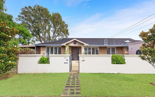
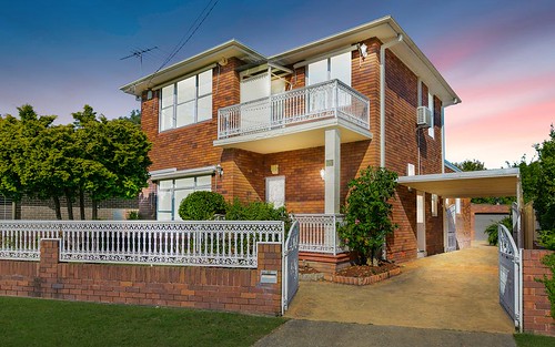
Property history for 2A Parkside Drive, Sandringham NSW 2219
All Sold Rent
Aug 2000
$519,950- Sold
This property has no listed rental history.
About this property
2A Parkside Drive, Sandringham NSW 2219
| Bedrooms | 3 |
| Bathrooms | 1 |
| Car Spaces | 1 |
| Land Size | 249 m2 |
| Building Area | n/a |
| Property Type | house |
| Council Area | Rockdale |
| Year Built | 1983 |
| Lot/Plan | 701/DP1017088 |
| Suburb Name | Sandringham |
| Postcode | 2219 |
| State | NSW |
Comparable Sold properties in Sandringham
Looking at similar homes in Sandringham, NSW 2219 can help you better understand this unit's potential value.
Comparable Rent properties in Sandringham
Looking at similar homes in Sandringham, NSW 2219 can help you better understand this unit's potential value.
Schools closest to 2A Parkside Drive, Sandringham NSW 2219
| School name | Address | Type | Sector | Distance |
|---|---|---|---|---|
| Sans Souci Public School | ROCKY POINT RDSans Souci 2219 | Primary | Government | 0.91 km |
| St Finbar's Primary School | Sans Souci 2219 | Primary | Catholic | 1.1 km |
| Ramsgate Public School | CHUTER AVERamsgate 2217 | Primary | Government | 1.91 km |
| Taren Point Public School | WOODLANDS RDTaren Point 2229 | Primary | Government | 2.66 km |
Neighbouring properties to 2A Parkside Drive, Sandringham NSW 2219
Explore other properties on Sandringham, NSW 2219.
Suburb Information
Sandringham, NSW 2219
Part of Rockdale
15.25 km
Distance from Sydney CBD
12 k
Population
$2.94M
Median House Price
$1.12M
Median Unit Price
Auction Results For Sandringham
Houses sold in Last 12 months ends 30 Nov 2024
$3.03M
Median Sale Price
67%
Clearance Rate
4/6
Sold/Reported
$4.01M
Highest Sale Price
| Sold Price Range | No. of Sold Properties | |
|---|---|---|
| $3 M and more (Median Price Range) | 2 | |
| $2 M - $3 M | 1 | |

