


Property history for 42 The Crest, Attwood VIC 3049
All Sold Rent
Jul 2019
$430 per week- Rent
- Barry Plant - Taylors Lakes
Jun 2018
$400 per week- Rent
- Walshe And Whitelock
Jul 2015
$380 per week- Rent
- Walshe And Whitelock Brunswick
Apr 2015
$440,000- Sold
- Stockdale & Leggo - Essendon/Moonee Ponds
Jun 2007
$290 per week- Rent
Jun 2000
$221,000- Sold
About this property
42 The Crest, Attwood VIC 3049
| Bedrooms | 4 |
| Bathrooms | 2 |
| Car Spaces | 2 |
| Land Size | 246 m2 |
| Building Area | n/a |
| Property Type | unit |
| Council Area | Hume |
| Year Built | 2000 |
| Lot/Plan | 24/PS430235 |
| Suburb Name | Attwood |
| Postcode | 3049 |
| State | VIC |
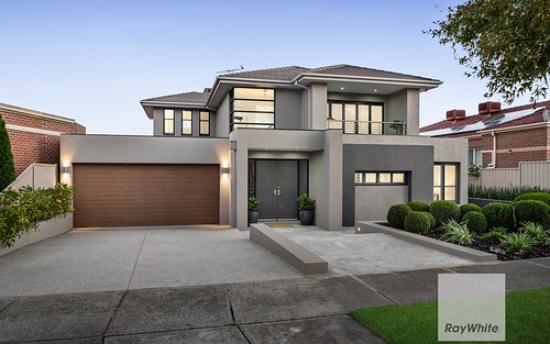
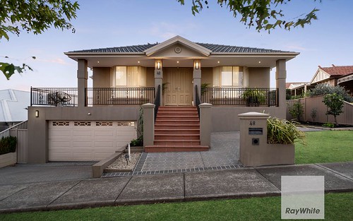
Comparable Sold properties in Attwood
Looking at similar homes in Attwood, VIC 3049 can help you better understand this unit's potential value.


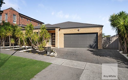
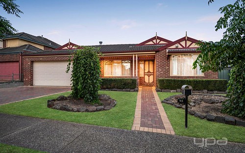
Comparable Rent properties in Attwood
Looking at similar homes in Attwood, VIC 3049 can help you better understand this unit's potential value.


Schools closest to 42 The Crest, Attwood VIC 3049
| School name | Address | Type | Sector | Distance |
|---|---|---|---|---|
| Westmeadows Primary School | 34-46 RIDDELL STREETWestmeadows 3049 | Primary | Government | 0.67 km |
| Gladstone Park Primary School | 15 - 25 SOUTH CIRCULAR ROADGladstone Park 3043 | Primary | Government | 1.66 km |
| Gladstone Park Secondary College | 14 - 36 TAYLOR DRIVEGladstone Park 3043 | Secondary | Government | 1.72 km |
| Gladstone Views Primary School | 195 - 227 CARRICK DRIVEGladstone Park 3043 | Primary | Government | 1.9 km |
| St Carlo Borromeo School | CNR DRUMMOND ST & HADDINGTON CRGreenvale 3059 | Primary | Catholic | 2.17 km |
| School of the Good Shepherd | 88 SOUTH CIRCULAR RDGladstone Park 3043 | Primary | Catholic | 2.22 km |
Neighbouring properties to 42 The Crest, Attwood VIC 3049
Explore other properties on Attwood, VIC 3049.
Suburb Information
Attwood, VIC 3049
Part of Hume
17.62 km
Distance from Melbourne CBD
9 k
Population
$1M
Median House Price
$590K
Median Unit Price