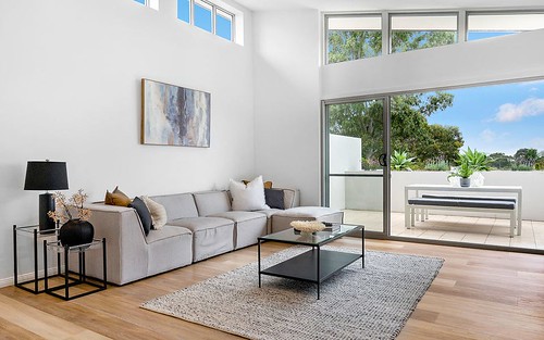
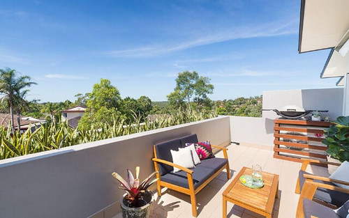
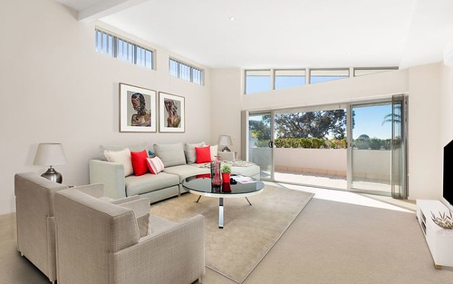
Property history for U 7/67 Warrangarree Drive, Woronora Heights NSW 2233
All Sold Rent
May 2014
$681,999- Sold
- McGrath Estate Agents - McGrath Engadine
Mar 2009
$470,000- Sold
This property has no listed rental history.
About this property
U 7/67 Warrangarree Drive, Woronora Heights NSW 2233
| Bedrooms | 3 |
| Bathrooms | 2 |
| Car Spaces | 2 |
| Land Size | 1875 m2 |
| Building Area | n/a |
| Property Type | Townhouse |
| Council Area | n/a |
| Year Built | 2009 |
| Lot/Plan | 7/SP81198 |
| Suburb Name | Woronora Heights |
| Postcode | 2233 |
| State | NSW |
Comparable Sold properties in Woronora Heights
Looking at similar homes in Woronora Heights, NSW 2233 can help you better understand this unit's potential value.
Comparable Rent properties in Woronora Heights
Looking at similar homes in Woronora Heights, NSW 2233 can help you better understand this unit's potential value.
Schools closest to U 7/67 Warrangarree Drive, Woronora Heights NSW 2233
| School name | Address | Type | Sector | Distance |
|---|---|---|---|---|
| Holy Family Catholic Primary School | ANZAC ROADMenai 2234 | Primary | Catholic | 1.34 km |
| Bangor Public School | MENAI ROADBangor 2234 | Primary | Government | 1.52 km |
| Marton Public School | KINGSWOOD RDEngadine 2233 | Primary | Government | 1.55 km |
| Aquinas Catholic College | ANZAC ROADMenai 2234 | Secondary | Catholic | 1.64 km |
| Sutherland Shire Christian SchoolTop 100 | 16A ALLIES ROADBarden Ridge 2234 | Combined | Independent | 1.48 km |
| Woronora River Public School | PRICES CIRCUITWoronora 2232 | Primary | Government | 1.59 km |
| Inaburra School | BILLA ROADBangor 2234 | Combined | Independent | 2.04 km |
| Lucas Heights Community School | OLD ILLAWARRA RDBarden Ridge 2234 | Combined | Government | 1.82 km |
Neighbouring properties to U 7/67 Warrangarree Drive, Woronora Heights NSW 2233
Explore other properties on Woronora Heights, NSW 2233.
Suburb Information
Woronora Heights, NSW 2233
Part of Sutherland Shire
24.38 km
Distance from Sydney CBD
30 k
Population
$1.61M
Median House Price
$1.31M
Median Unit Price
Market Trends For Woronora Heights
3 bedroom units in Woronora Heights


