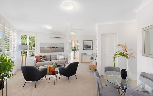
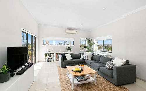
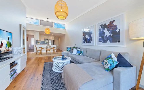
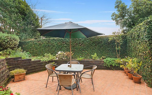
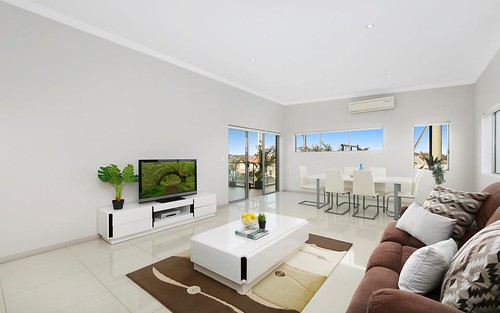
Property history for 76 Kentwell Road, Allambie Heights NSW 2100
All Sold Rent
Mar 2018
$620 per week- Rent
- Easy Sell Rent - Norwood
Feb 2018
$650 per week- Rent
- Easy Sell Rent - Norwood
Feb 2007
$1,052,000- Sold
Sep 1999
$620,000- Sold
Apr 1995
$440,000- Sold
Apr 1988
$220,000- Sold
About this property
76 Kentwell Road, Allambie Heights NSW 2100
| Bedrooms | 2 |
| Bathrooms | 1 |
| Car Spaces | 2 |
| Land Size | 784 m2 |
| Building Area | n/a |
| Property Type | unit |
| Council Area | Warringah |
| Year Built | 1995 |
| Lot/Plan | 2056/DP752038 |
| Suburb Name | Allambie Heights |
| Postcode | 2100 |
| State | NSW |
Comparable Sold properties in Allambie Heights
Looking at similar homes in Allambie Heights, NSW 2100 can help you better understand this unit's potential value.
Comparable Rent properties in Allambie Heights
Looking at similar homes in Allambie Heights, NSW 2100 can help you better understand this unit's potential value.
Schools closest to 76 Kentwell Road, Allambie Heights NSW 2100
| School name | Address | Type | Sector | Distance |
|---|---|---|---|---|
| Manly Vale Public School | SUNSHINE STManly Vale 2093 | Primary | Government | 1.02 km |
| St Kieran's Catholic Primary School | 63 GORDON STREETManly Vale 2093 | Primary | Catholic | 1.12 km |
| Allambie Heights Public School | ALLAMBIE RDAllambie Heights 2100 | Primary | Government | 1.39 km |
| Balgowlah North Public School | MANNING STREETNorth Balgowlah 2093 | Primary | Government | 1.46 km |
| Northern Beaches Secondary College Mackellar Girls CampusTop 100 | CAMPBELL PDE & QUIRK RDManly Vale 2093 | Secondary | Government | 1.49 km |
| Brookvale Public School | OLD PITTWATER RDBrookvale 2100 | Primary | Government | 1.84 km |
| St Augustine's College | ALFRED ROADBrookvale 2100 | Combined | Independent | 2.04 km |
| Manly West Public School | GRIFFITH STBalgowlah 2093 | Primary | Government | 2.13 km |
| Seaforth Public School | KEMPBRIDGE AVENUESeaforth 2092 | Primary | Government | 2.26 km |
Neighbouring properties to 76 Kentwell Road, Allambie Heights NSW 2100
Explore other properties on Allambie Heights, NSW 2100.
Suburb Information
Allambie Heights, NSW 2100
Part of Warringah
12.68 km
Distance from Sydney CBD
19 k
Population
$2.6M
Median House Price
$1.1M
Median Unit Price
Market Trends For Allambie Heights
2 bedroom units in Allambie Heights
