


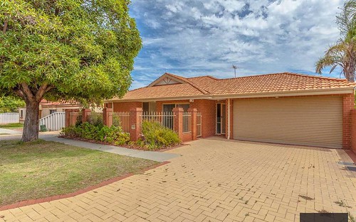
Property history for 9C Eastdene Circle, Nollamara WA 6061
All Sold Rent
Aug 2023
$385,000- Sold
- Sell Lease Property - PERTH
Jan 2002
$125,000- Sold
This property has no listed rental history.
About this property
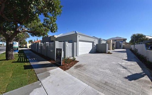
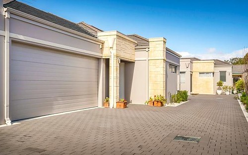
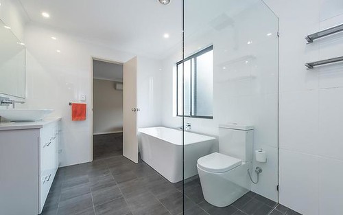
9C Eastdene Circle, Nollamara WA 6061
| Bedrooms | 3 |
| Bathrooms | 1 |
| Car Spaces | 2 |
| Land Size | 313 m2 |
| Building Area | 86 m2 |
| Property Type | unit |
| Council Area | Stirling |
| Year Built | 2000 |
| Lot/Plan | 3/S041378 |
| Suburb Name | Nollamara |
| Postcode | 6061 |
| State | WA |
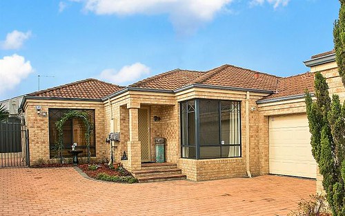
Comparable Sold properties in Nollamara
Looking at similar homes in Nollamara, WA 6061 can help you better understand this unit's potential value.
Comparable Rent properties in Nollamara
Looking at similar homes in Nollamara, WA 6061 can help you better understand this unit's potential value.


Schools closest to 9C Eastdene Circle, Nollamara WA 6061
| School name | Address | Type | Sector | Distance |
|---|---|---|---|---|
| Westminster Junior Primary School | UNGAROO ROADWestminster 6061 | Primary | Government | 0.29 km |
| St Gerard's School | 31 CHANGTON WAYWestminster 6061 | Primary | Catholic | 0.29 km |
| Mirrabooka Senior High School | NOLLAMARA AVENUEDianella 6059 | Secondary | Government | 0.85 km |
| Mirrabooka Primary School | LAYTHORNE STREETDianella 6059 | Primary | Government | 0.97 km |
| Westminster Primary School | MARLOO ROADWestminster 6061 | Primary | Government | 1.09 km |
| Balga Primary School | FERNHURST CRESCENTBalga 6061 | Primary | Government | 1.35 km |
| John Septimus Roe Anglican Community SchoolTop 50 | CNR BOYARE & MIRRABOOKA AVEMirrabooka 6061 | Combined | Independent | 1.53 km |
| Nollamara Christian Academy | 148 HILLSBOROUGH DRIVENollamara 6061 | Combined | Independent | 1.38 km |
| West Coast Steiner School | 15 MAYFAIR STREETNollamara 6061 | Primary | Independent | 1.62 km |
| Majella Primary School | CNR FINCHLEY CRES AND BALGA AVEBalga 6061 | Primary | Catholic | 1.76 km |
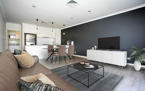
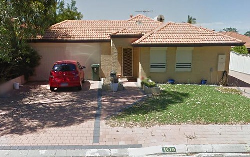
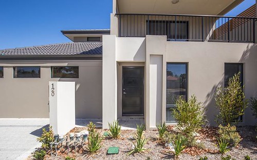
Neighbouring properties to 9C Eastdene Circle, Nollamara WA 6061
Explore other properties on Nollamara, WA 6061.
Suburb Information
Nollamara, WA 6061
Part of Stirling
8.16 km
Distance from Perth CBD
28 k
Population
$429K
Median House Price
$350K
Median Unit Price