


Property history for 1/5 Blackwood Avenue, Ashfield NSW 2131
All Sold Rent
Jan 2024
$375 per week- Rent
- Cobden & Hayson - Marrickville
Aug 2022
$295 per week- Rent
- Cobden & Hayson - Marrickville
Jul 2021
$300 per week- Rent
- Cobden & Hayson - Marrickville
Jan 2018
$325 per week- Rent
- LJ Hooker Ashfield
Dec 2017
$365,000- Sold
- Strathfield Partners - Strathfield
Oct 2017
$365,000- Sold
- Strathfield Partners - Strathfield
Oct 2017
N/A- Sold
- Strathfield Partners - Strathfield
Nov 2013
$300,000- Sold
- Raine & Horne - Marrickville
2004
$200,000- Sold
Jun 2002
$153,896- Sold
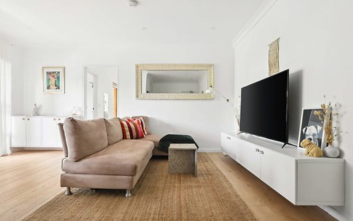
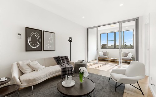
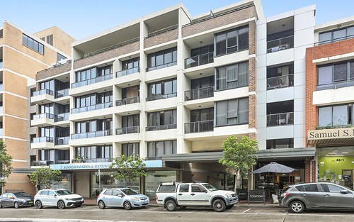
About this property
1/5 Blackwood Avenue, Ashfield NSW 2131
| Bedrooms | 1 |
| Bathrooms | 1 |
| Car Spaces | 1 |
| Land Size | 376 m2 |
| Building Area | 34 m2 |
| Property Type | unit |
| Council Area | Inner West |
| Year Built | 1960 |
| Lot/Plan | 1/SP17241 |
| Suburb Name | Ashfield |
| Postcode | 2131 |
| State | NSW |
Comparable Sold properties in Ashfield
Looking at similar homes in Ashfield, NSW 2131 can help you better understand this unit's potential value.


Comparable Rent properties in Ashfield
Looking at similar homes in Ashfield, NSW 2131 can help you better understand this unit's potential value.


Schools closest to 1/5 Blackwood Avenue, Ashfield NSW 2131
| School name | Address | Type | Sector | Distance |
|---|---|---|---|---|
| St Francis Xavier Catholic School Ashbury | 40-44 FORBES STCroydon Park 2133 | Primary | Catholic | 0.5 km |
| Ashbury Public School | TREVENAR STAshbury 2193 | Primary | Government | 0.66 km |
| Croydon Park Public School | GEORGES RIVER RDCroydon Park 2133 | Primary | Government | 0.82 km |
| Bethlehem College | 18 BLAND STREETAshfield 2131 | Secondary | Catholic | 1.12 km |
| St Vincent's Catholic Primary School | 30-34 CHARLOTTE STREETAshfield 2131 | Primary | Catholic | 1.13 km |
| Ashfield Public School | LIVERPOOL RDAshfield 2131 | Primary | Government | 1.07 km |
| De La Salle College | 24 BLAND STAshfield 2131 | Secondary | Catholic | 1.19 km |
| Presbyterian Ladies CollegeTop 20 | BOUNDARY STREETCroydon 2132 | Combined | Independent | 1.29 km |
| Ashfield Boys High School | LIVERPOOL RDAshfield 2131 | Secondary | Government | 1.13 km |
| Canterbury Boys High School | HOLDEN STCanterbury 2193 | Secondary | Government | 1.36 km |
Neighbouring properties to 1/5 Blackwood Avenue, Ashfield NSW 2131
Explore other properties on Ashfield, NSW 2131.
Suburb Information
Ashfield, NSW 2131
Part of Ashfield
7.69 km
Distance from Sydney CBD
22 k
Population
$1.89M
Median House Price
$740K
Median Unit Price
Auction Results For Ashfield
Units sold in Last 12 months ends 6 Jul 2024
$875K
Median Sale Price
86%
Clearance Rate
97/114
Sold/Reported
$2.66M
Highest Sale Price
| Sold Price Range | No. of Sold Properties | |
|---|---|---|
| $2 M - $3 M | 3 | |
| $1.8 M - $2 M | 1 | |
| $1.2 M - $1.4 M | 3 | |
| $1 M - $1.2 M | 9 | |
| $800 K - $1 M (Median Price Range) | 35 | |
| $600 K - $800 K | 18 | |